


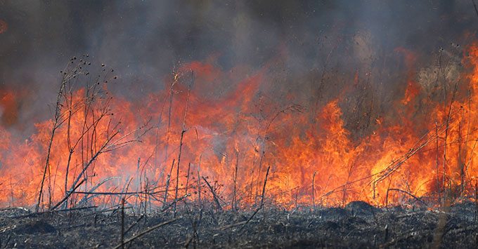
Roger Mills County, OK – Roger Mills County firefighters battled three separate grass fires Saturday night near the intersection of N19080 and E820 roads. According to Roger Mills County Emergency Management, all county fire departments were paged around 9:30 p.m. Sept. 12 to a large lightning-caused grass fire about five miles east of Roll.
While crews were responding, a second grass fire was reported in the same area. About 10 minutes later, a third fire was reported near N19080 and E820 roads.
Hammon and Leedey fire departments were diverted to the third fire, while Dewey County Tanker was also requested. By 11:30 p.m., all three fires had been contained. Most departments were released from the scene, with the remaining crews released around 1 a.m.
The fires come as Oklahoma Forestry Services and local fire departments respond to increasing wildfire activity across the state.
One of the largest incidents is the Gracemont Fire in Caddo County. The fire had grown to approximately 3,000 acres and was reported at zero percent containment, with the U.S. Wildland Fire Service managing the incident. Oklahoma Forestry Services has also mobilized Task Force Goldsby and Task Force Weatherford as conditions worsen.
Western and southwestern Oklahoma are among the areas facing the greatest concern. Temperatures around 100 degrees, combined with south winds of 15 to 20 mph and gusts approaching 30 mph, could allow any new fire to spread rapidly. The National Weather Service forecast for Elk City calls for a high near 100 Monday with south winds gusting as high as 30 mph.
Persistent drought and a lack of meaningful rainfall have left grasses and other vegetation extremely dry. Under these conditions, even a small ignition can quickly develop into a fast-moving wildfire.
Some Hope for Rain Later This Week
Unfortunately, western Oklahoma is not expected to receive much relief during the first half of the week. Elk City is forecast to reach around 100 degrees Monday and Tuesday, followed by highs in the upper 90s Wednesday and middle 90s Thursday.
There is, however, some reason for optimism late in the week. Rain chances begin to increase as another front approaches. The National Weather Service currently gives the Elk City area a 30 percent chance of showers and thunderstorms Thursday night, with additional 30 percent chances Friday, Friday night and Saturday. Temperatures could also fall substantially, with a forecast high around 90 Friday and 85 Saturday.
While widespread soaking rainfall is far from guaranteed, the cooler temperatures and chances for thunderstorms late in the week would be welcome news for firefighters, ranchers and farmers across drought-stricken western Oklahoma.
Copyright 2026 Paragon Communications. All rights reserved. This material may not be published, broadcast, rewritten, or redistributed without permission.

.jpg)


.jpg)